Cartography
Cartography
Maps that your participants love, and your terrain deserves.
Specializing in championship-caliber hand-drawn orienteering maps, Navigation Sports brings a craftsman’s eye to detail to each project. Each feature on the map is carefully drawn from the most accurate data available with the goal of making maps that are clearly legible, detailed, and super crisp.
To ensure the most intuitively legible maps possible we prioritize the most prominent features in the terrain and do most of our drawing during fieldwork. If there is a complex area that is hard to represent, we take the time to draw it a few times to figure out what representation of the terrain makes the most sense. This is more involved than some mappers' process, but the result is a much better map.
Each project comes with photos and video of the terrain which you can use for promoting your new map and events and a report that includes:
- Summary of work done
- Basic map information
- Details of base material used
- Terrain notes for volunteer use
- Mappers notes for event information
Projects are estimated based on square kilometre rate and billed hourly. Clients can expect costs anywhere from $1500 to $3000 per square km for orienteering maps depending on the complexity and physicality of the terrain and the base material available.
In addition, Navigation Sports can do the following cartography work for you:
- School, micro, or other pseudo-orienteering maps
- Basemap preparation
- Lidar processing
- Map layout/design work
To date, Navigation Sports has over 12 years of experience making orienteering maps with over 40 projects totalling over 50 square kilometers of terrain plus countless hours updating and extending existing maps.
If you are interested in dicsussing a project, email jeff@navigationsports.ca
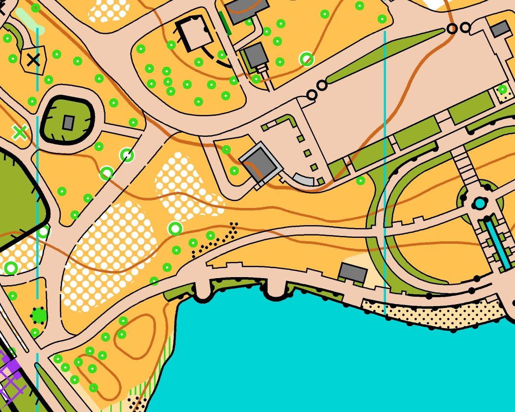
Waterloo Park
This ¾ km2 map was complete in September of 2023 for the 2023 Ontario Orienteering Championships in Waterloo. While the park is a typical city park it includes an excellent variety of terrain which made for an interesting set of sprint courses. One of the challenges of this project was that the most interesting part of the park was recently rebuilt and all of the base data was from previous to that construction. Some creativity and some aerial photography from the construction company were required to complete that portion.
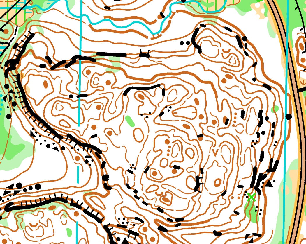
Cité des Jeunes
This 6.5 km2 was completed in 2021 for Orienteering Ottawa and first used for their 2021 flagship Ottawa O-Fest. This Gatineau Park terrain includes 3.8 km2 of varied, complex, and extremely rocky forest interspersed with some low lying clear areas and built up institutions along the east edge. The challenge with this map was twofold:
- To find a way to simplify the terrain and represent the most prominent features legibly and
- To draw the map such that the different parts of the map could all be drawn equally without feeling like different styles were used across the map.
The following links show different portions of the full map:
Northern part
Southern part
MacSkimming Outdoor Education Centre
This project was for the Ottawa Carleton District School Board in 2022 for there 345 acre (1.4 km2) outdoor education centre property in Ottawa’s far East end. They wanted to have a modern orienteering map that they could use for all sorts of educational activities and had several different maps produced to orienteering standard. This was a fun project where figuring out how best to map the extremely subtle contour detail was quite tricky.
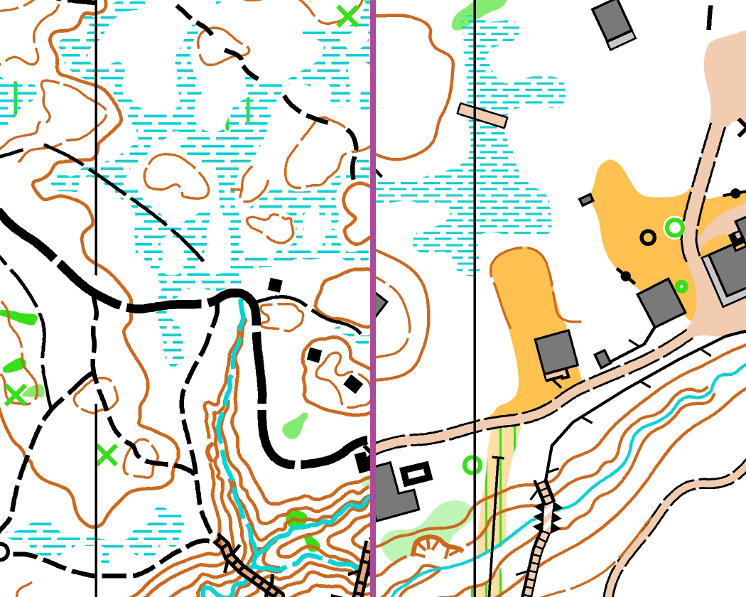
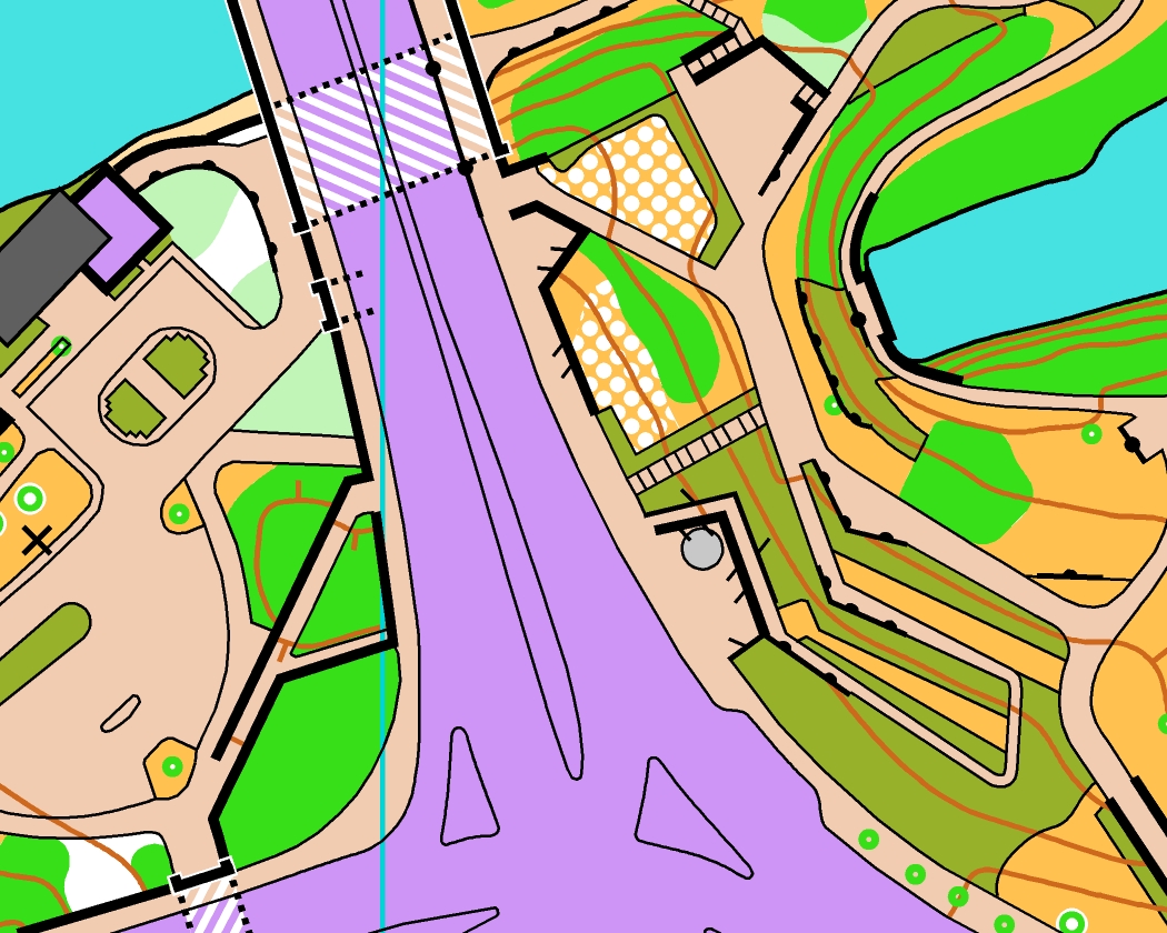
Lebreton Flats
This was a personal exploration project which has since been repeatedly used by Orienteering Ottawa. The goal of this project was to explore ways of using the multi-level mapping symbols (they were quite new at the time) in a variety of situations. This area has multiple complex situations including a tunnel under a tunnel under a road and a bus station on a bridge. I like to think I contributed to the improvement of the mapping specification in this area through discussion around this map.
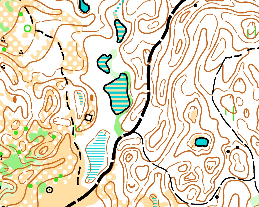
Arkell Hills
This area has a long history in orienteering and was a joy to map for the 2019 Ontario Championships. The 3.4 km2 of kettle moraine terrain were once all grazing land but through a varied recent history, different parts of the terrain now have very different vegetation with a variety of tracks running through it. This project included working with the client to secure permissions to use the various private properties that make up the area and coordinate access while mapping.
You can find the full map on Routegadget here.